Albums | Admin Console

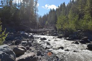
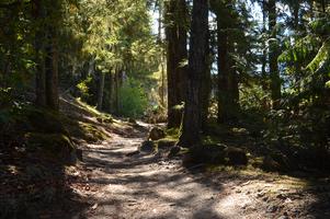
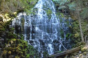
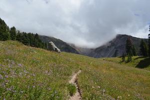
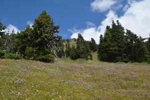
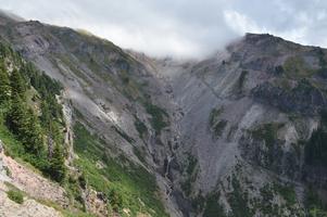
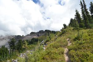
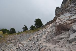
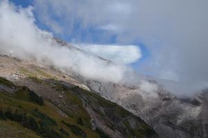
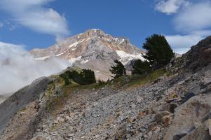
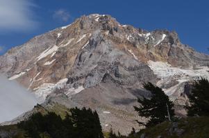
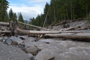
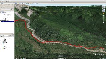
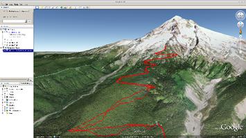
Yocum Ridge - 08 August 2015

Apparently you're supposed to cross the river at a different spot, but I didn't figure that out until I passed a family with small children, crossed the river via that log, then passed the same family again on the other side. The trail got much easier after the river crossing. Ramona Falls The last time I did this hike, this was a lake with water and a little bit of ice. Not this summer. This is the official end of the hike. Unfortunately, Mount Hood isn't visible. I decided to follow the unofficial trail to the top of that hill, then continue to follow a ridge after that. The unofficial trail is a little more primitive. Almost at the top of the ridge. The trail has almost completely disappeared at this point. This was as far as I went. The weather seems to be getting worse. Oh wait, now you can kind of see Mount Hood. I have no idea what kind of cloud that is. On the way back, the clouds disappeared just long enough to take this picture. And this picture. This is the log I was supposed to cross on. It's a lot easier than it looks. There's even a makeshift handrail! This is the first third or so of the hike, ending at Ramona Falls. After Ramona Falls, the trail switchbacked up the mountain until reaching Yocum Ridge. My favorite part about this picture is that you can see that I lost my GPS signal at some point, yet the tracks are still pretty accurate. My money is on a highly sophisticated inertial navigation system built on top of 45 cent accelerometers.
riGallery v0.1.0